Table of Contents
What is Landsat?
Landsat is a series of earth‑observing satellites run by the USGS.
They snap pictures of the planet every few days.
I first saw the images when I was mapping deforestation for a school project.
Why It Matters for Climate Research
Why does this matter? Because the data is free, consistent, and long‑running.
Most researchers can’t afford high‑cost imagery, so Landsat fills that gap.
From what I’ve seen, it’s the go‑to source for trend analysis.
Key Benefits Over Other Satellites
Here are the main perks:
- Spatial resolution of 30 meters (good enough for regional work)
- 16‑day revisit cycle (helps track rapid changes)
- Multispectral bands that reveal vegetation health, water quality, and heat
How to Access and Use the Data
Getting the data is straightforward.
You can download it from the EarthExplorer portal or via the AWS Open Data Registry.
I usually start with a simple Python script using rasterio, then clip to my study area.
Real‑World Examples You Can Try
One cool example is monitoring urban heat islands.
By comparing summer images from 2010 to 2023, you can see which neighborhoods are heating up fastest.
Another is tracking algal blooms in lakes; the short‑wave infrared band picks them up nicely.
Common Mistakes to Avoid
Newbies often miss these steps:
1.
Not checking cloud cover – cloudy scenes ruin the analysis.
2.
Using the wrong projection – it messes up area calculations.
3.
Ignoring radiometric calibration – raw DN values are not comparable across scenes.
Avoid these and you’ll save hours. And this is where things get interesting.
Future of Landsat and What’s Next
The next generation, Landsat 9, is set to launch soon and will bring higher radiometric accuracy.
Scientists are already planning new applications, from methane leak detection to precision agriculture.
It feels like we’re just scratching the surface. But there’s a catch.
So if you’re diving into climate research or just curious about our planet, give Landsat a try.
It’s free, powerful, and surprisingly easy to start with.
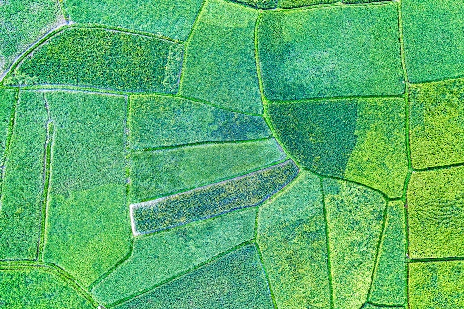
Image source: pexels.com
Now think about that for a second.
Image source credit: pexels.com